...
| Excerpt | ||||||||||||||||||||
|---|---|---|---|---|---|---|---|---|---|---|---|---|---|---|---|---|---|---|---|---|
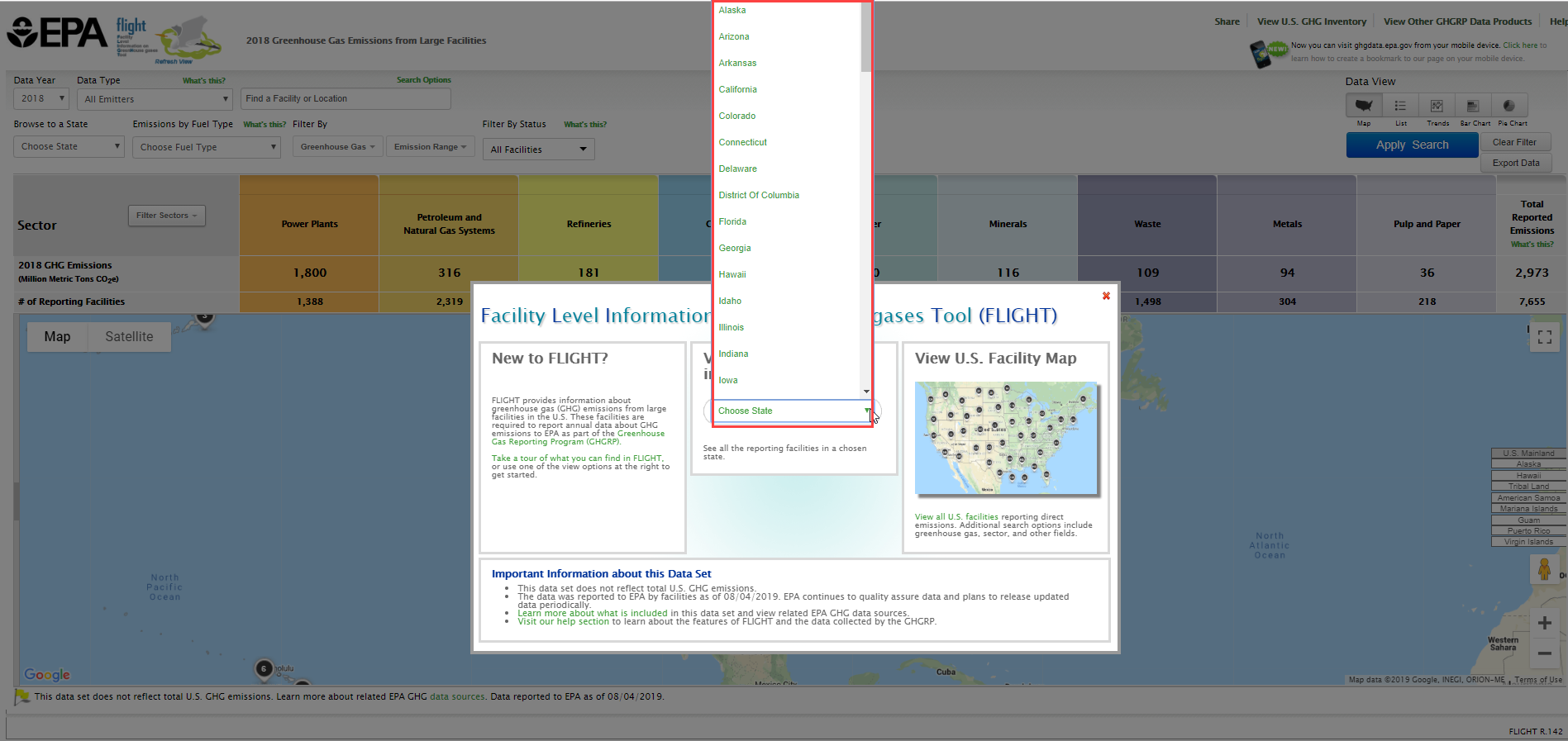
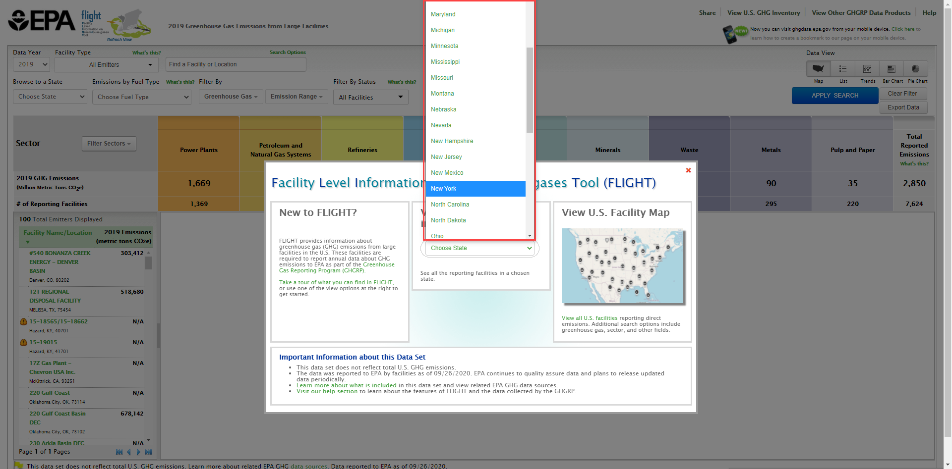
Step 1. Go to the FLIGHTWhen you first enter the Facility Level Information on Greenhouse Gases Tool (FLIGHT), you will be presented with two search options:
Step 2. Select a stateUse the "View Facilities in your State" search option to choose a state from the drop-down menu.
|
Step 3. Select a county
...
Overview
Content Tools
ThemeBuilder
Tasks