This page provides step-by-step instructions for finding a specific facility.
Step 1. Go to the FLIGHT.
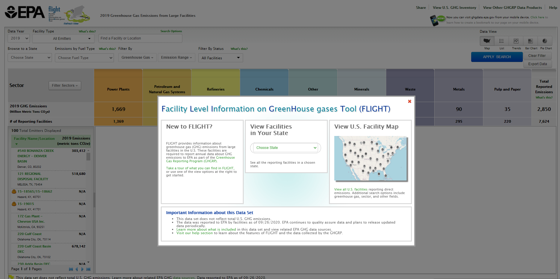
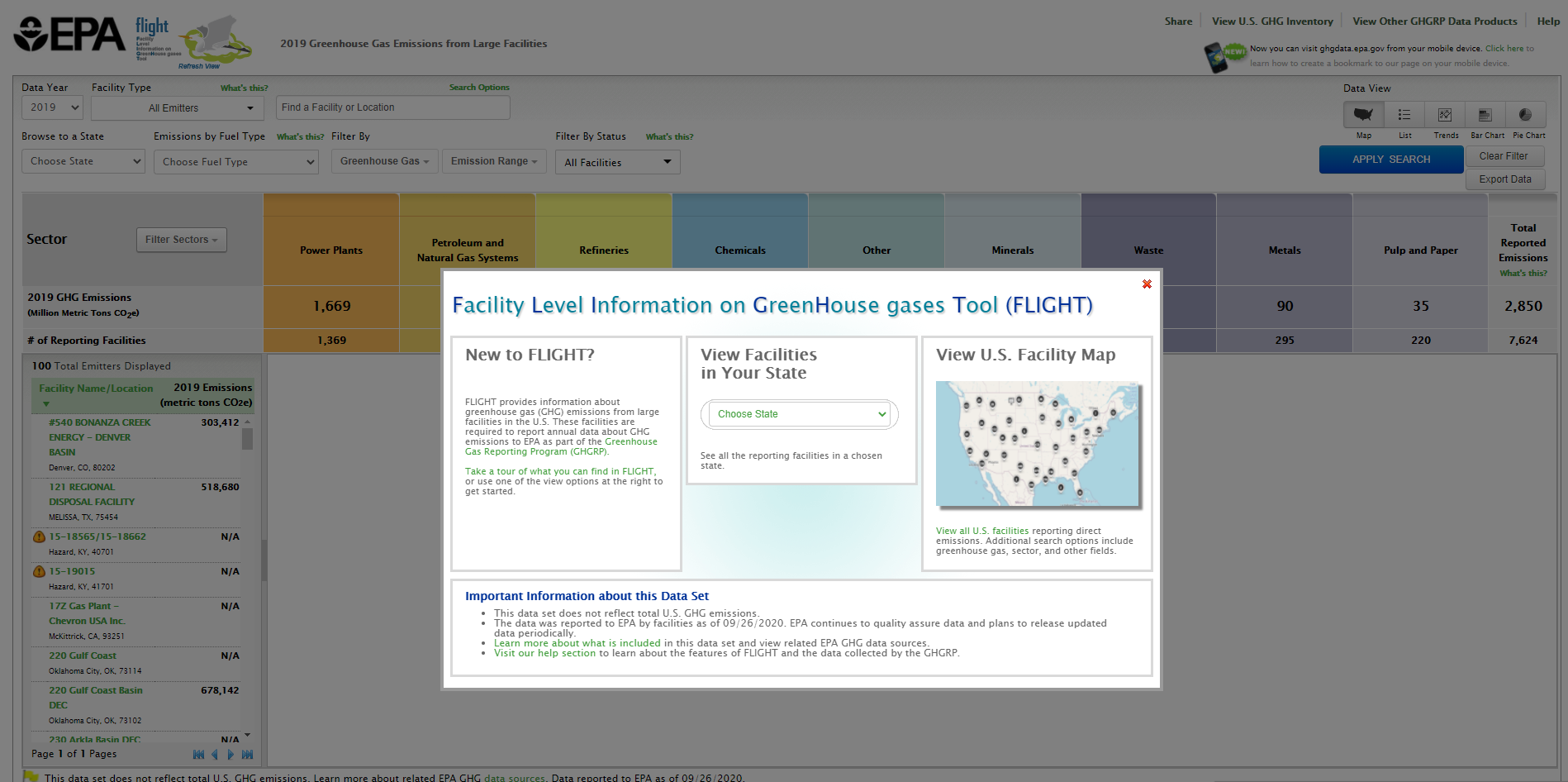
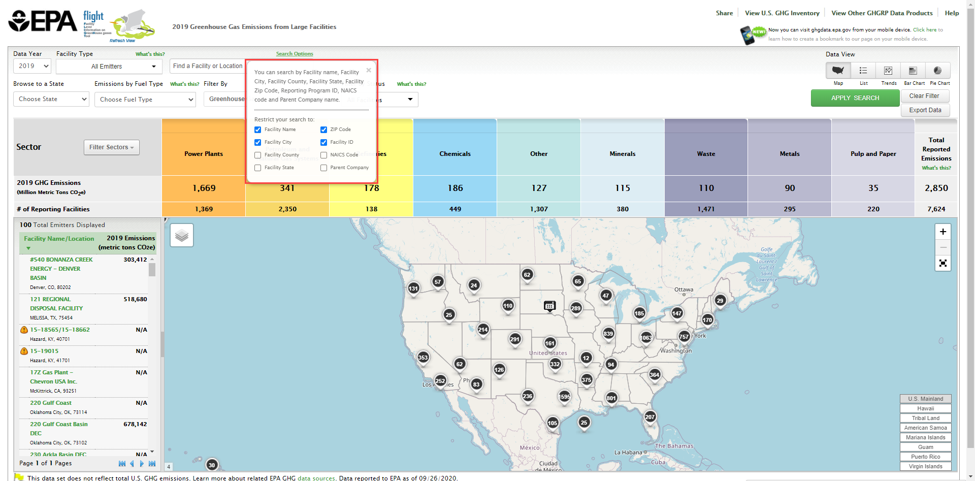
When you first enter the Facility Level Information on Greenhouse Gases Tool (FLIGHT), you will be presented with two search options:
- View all U.S. Facility Data by map
- View Facilities in your State
Click image to expand below
Step 2. Perform a custom search.
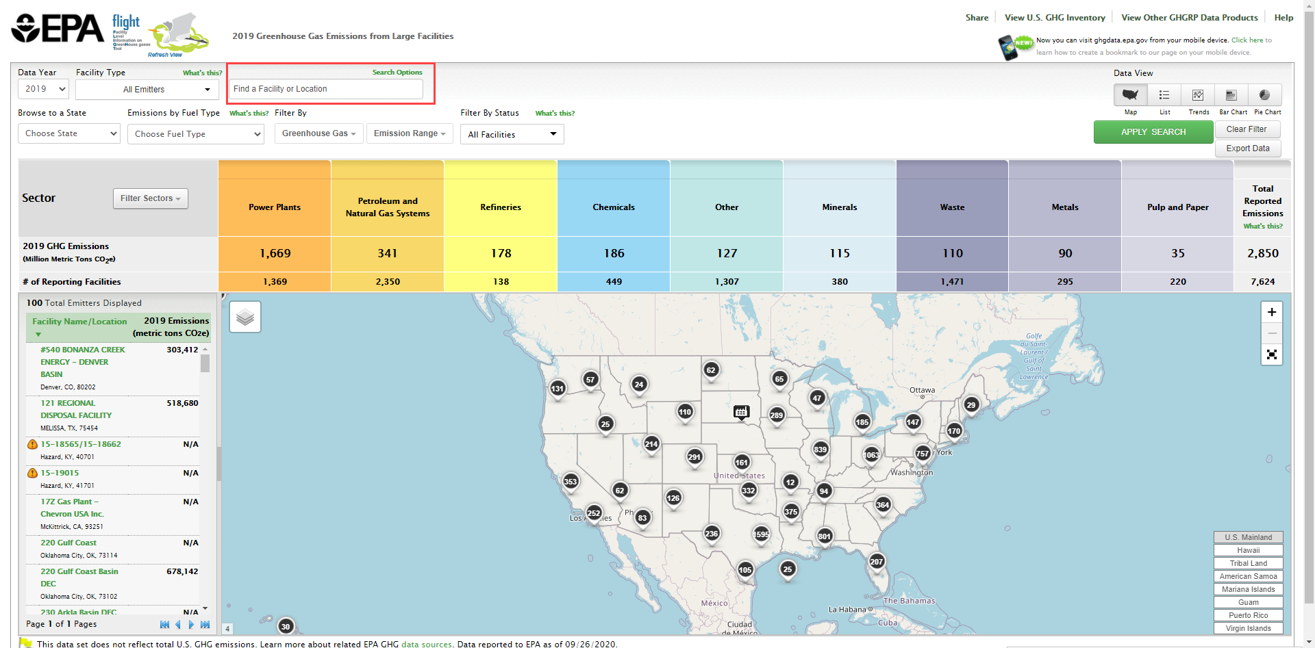
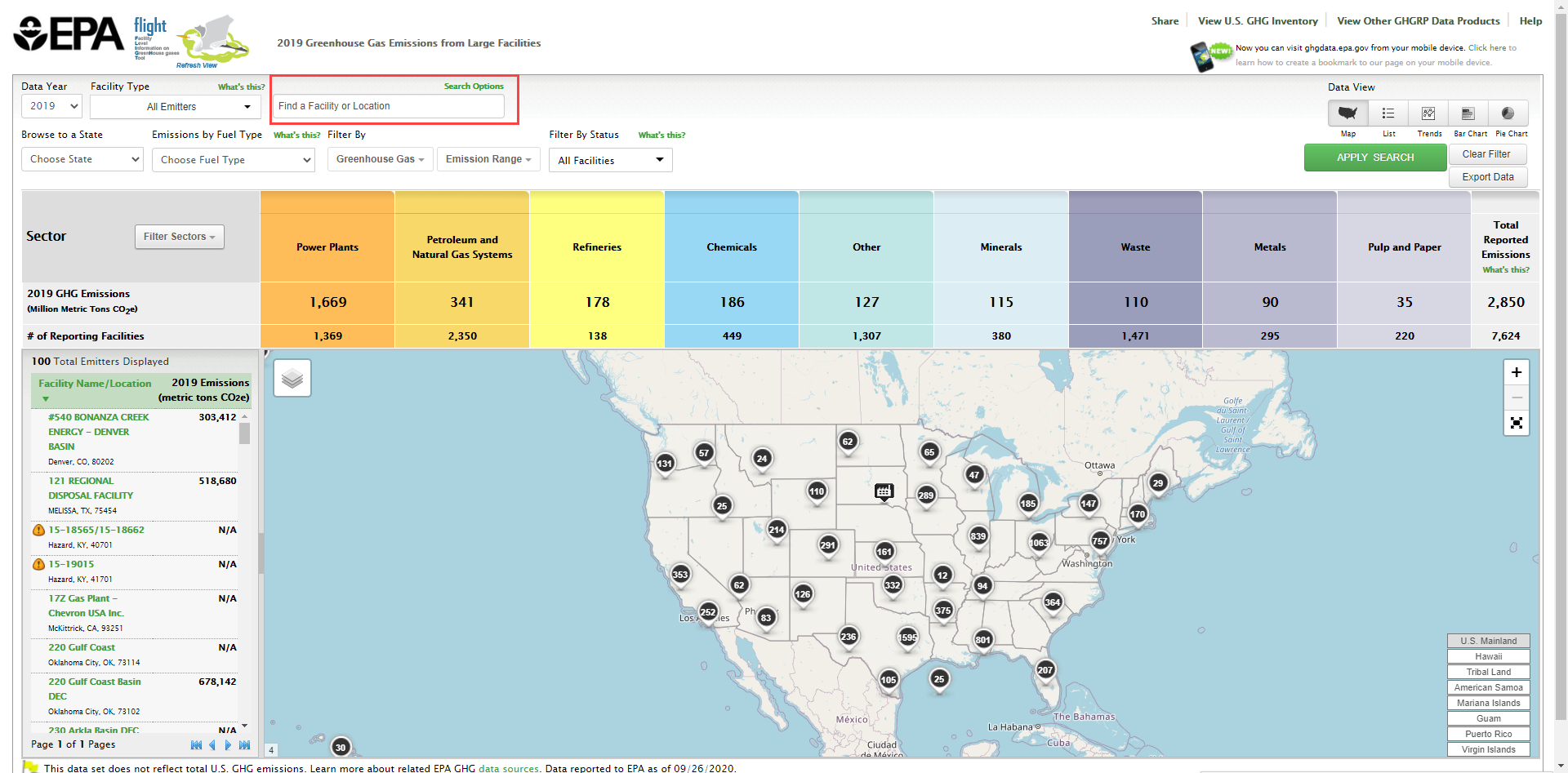
In the Custom Search window, type the facility name or associated keywords for the facility you wish to find and click the magnifying glass button. Keywords may include part of the facility name or facility location.
Click image to expand below
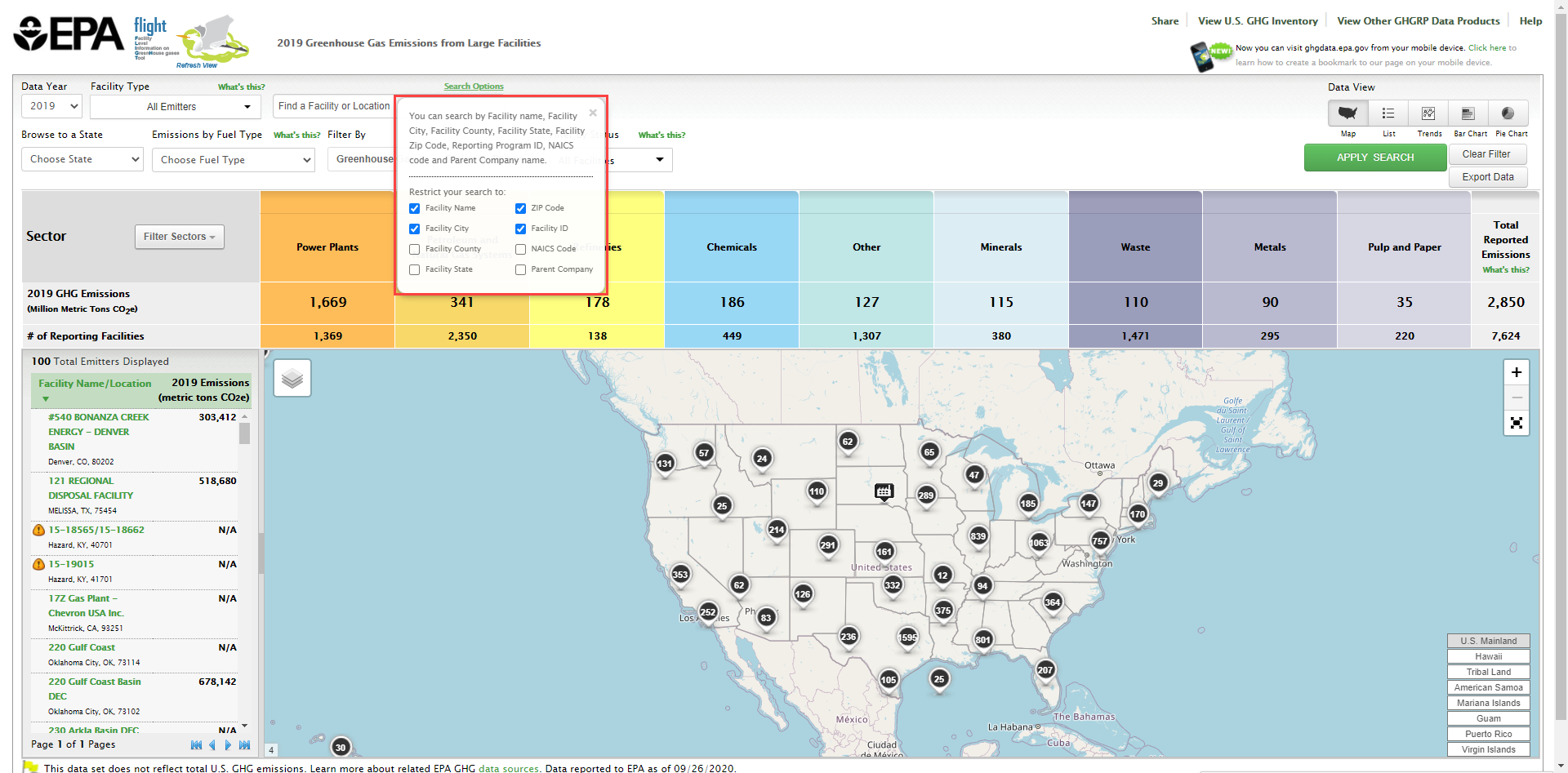
Users can click on the "Search Options" keywords above the text box to increase or decrease the parameters that the search tool will use. Simply use the check boxes to update the search parameters.
Click image to expand below
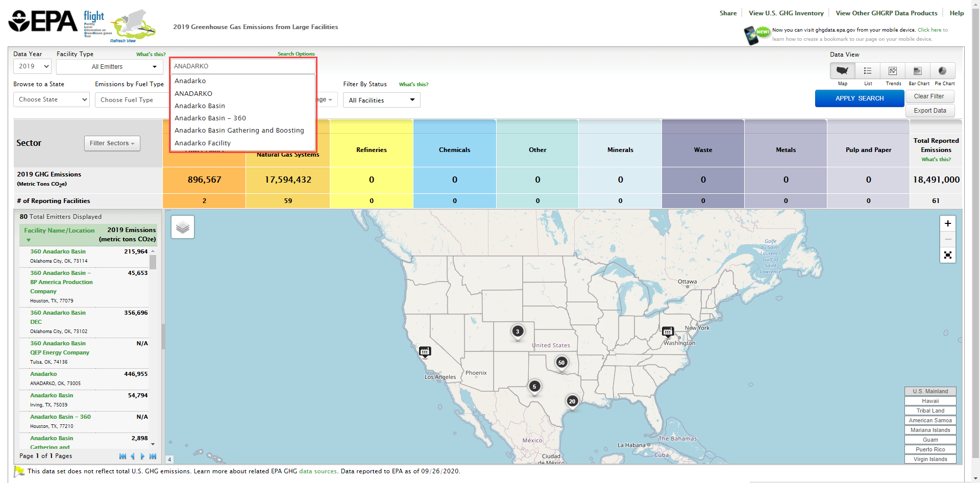
The resulting map will show the location and number of facilities related to your search. Any similar keyword searches will appear below the text entered. Note that you may perform a new search at any time by using the "Clear Filter" button and re-entering information into the custom search box. By clicking on the icon denoting a single facility or several facilities, the map will zoom in on that area and portray the facilities within that region.
Click image to expand below
By clicking on the icon denoting a single facility or several facilities, the map will zoom in on that area and portray the facilities within that region.
Step 3. Identify facility in search results.
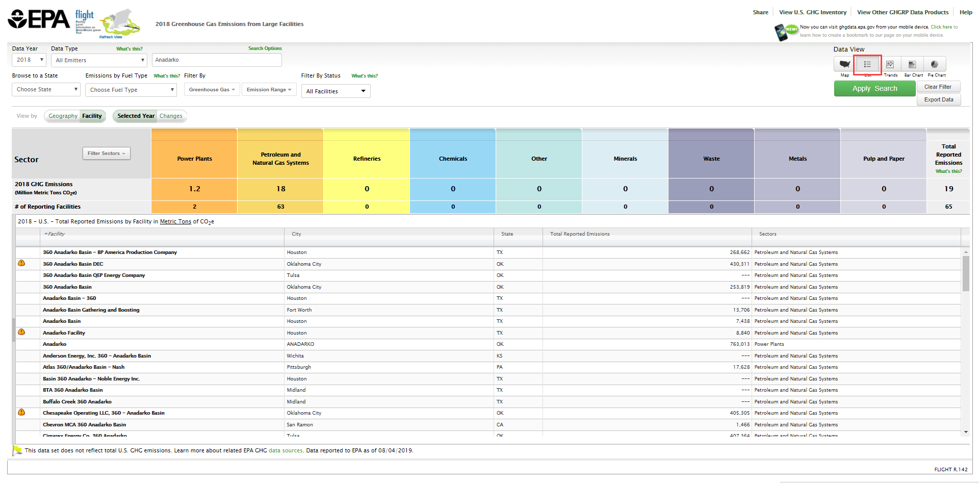
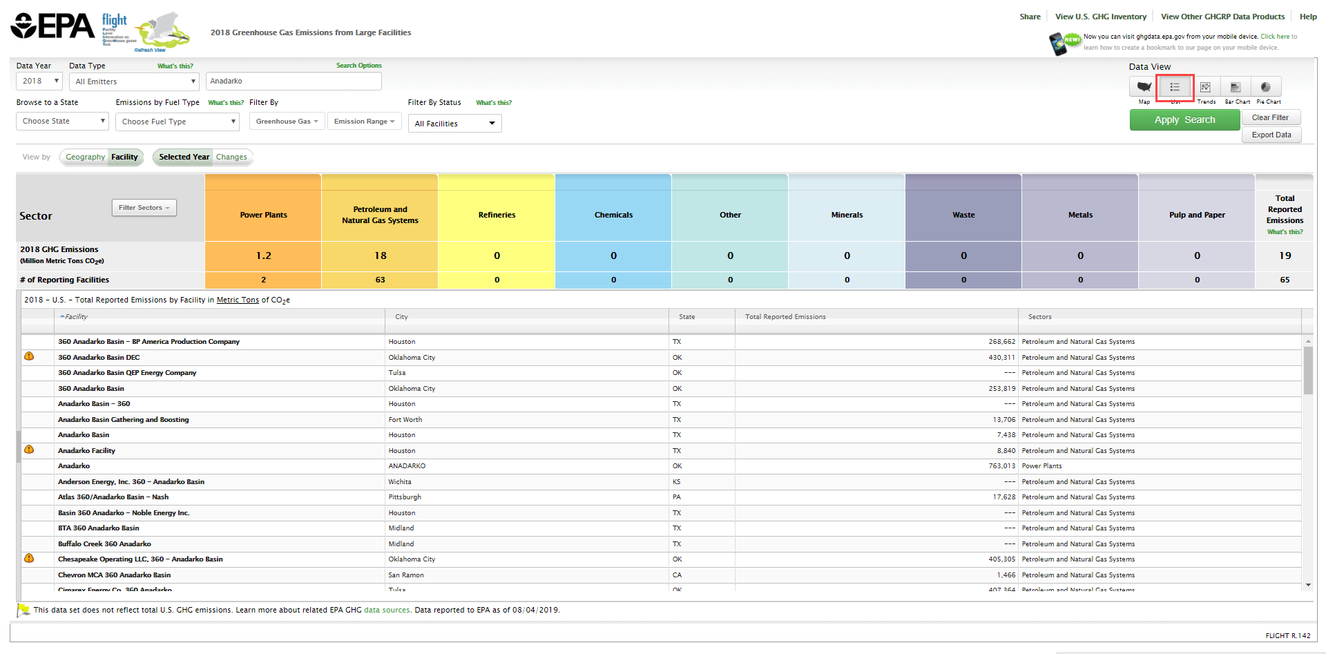
For a list of facility results from the search, click on the list button in the top right corner above the map display. Find the facility in the listed search results presented in the sidebar at the left of the screen.
Click image to expand below
Step 4. View facility details.
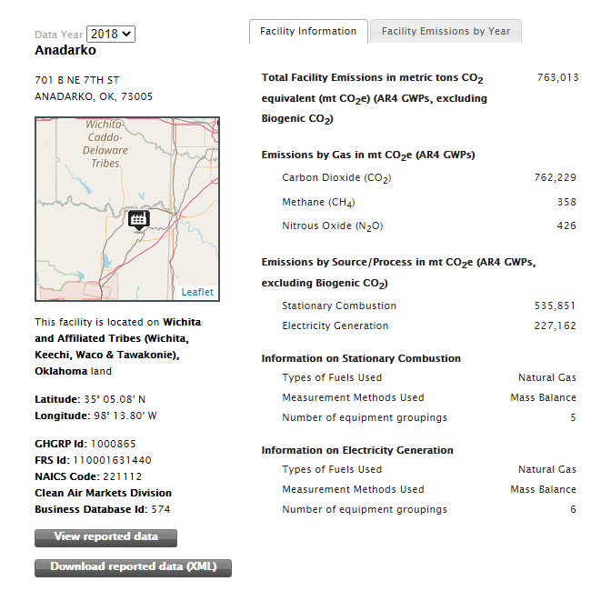
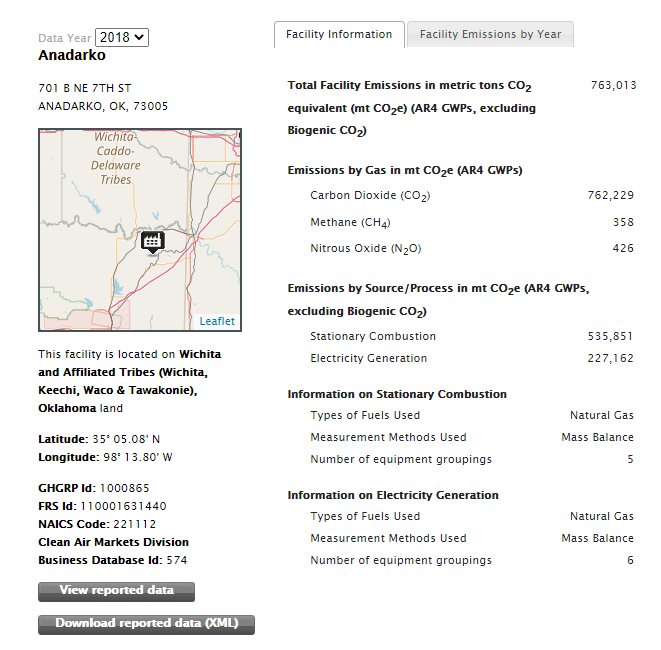
Click the name of the facility to view facility details.
Click image to expand below


